
Explore Our Services
Survey & Mapping
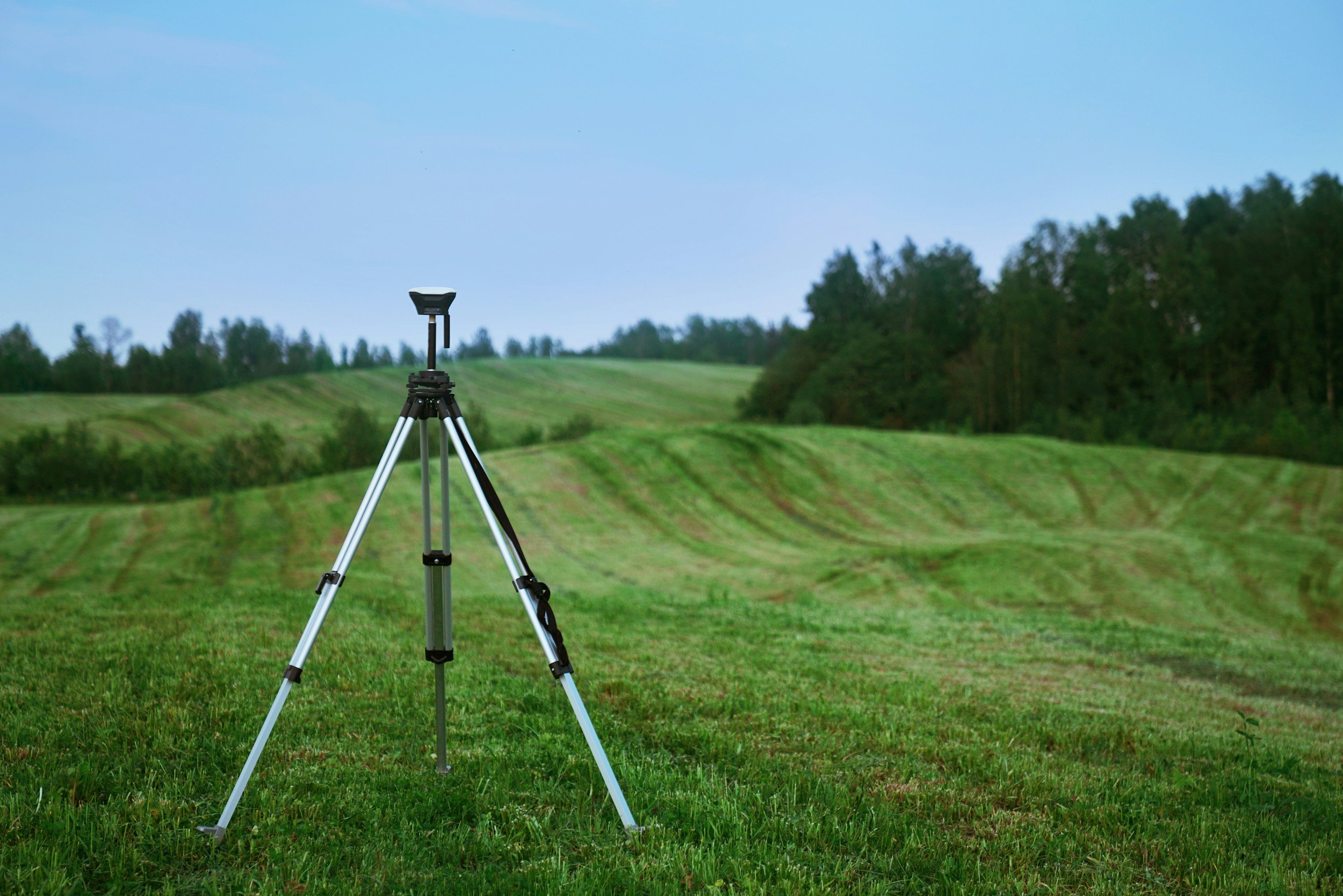
Our Surveying and Mapping Department delivers high-quality, precise surveying and mapping solutions using state-of-the-art equipment and an experienced team of licensed surveyors, survey analysts, and CAD technicians. We specialize in providing accurate, reliable data for a wide range of land development, construction, and legal purposes. Whether it’s boundary determination, construction staking, or complex mapping, our team ensures that every survey is done with precision and in compliance with local, state, and federal regulations.
Our expertise spans across a variety of survey types, from simple property line determinations to more complex legal documents and mapping. With extensive experience in all aspects of surveying and mapping, we help clients navigate the complexities of property development, legal requirements, and construction processes.
Boundary Surveys and Analysis
ALTA/NSPS Land Title Surveys
Topographic Surveys
Our Surveying and Mapping Services Include:
Architectural Surveys
"As-Built" Surveys
Construction Staking
Dedication Documents
Lot Line Adjustments
Lot Consolidations
Subdivision Maps
Record of Surveys
Tentative Maps
Corner Records
Parcel Maps
Easements
Drone & Aerial Mapping
Our Drone and Aerial Mapping Services provide clients with cutting-edge, high-resolution mapping solutions that offer unparalleled accuracy and efficiency. Utilizing state-of-the-art drone technology and advanced aerial imaging, our team delivers detailed, real-time data for a wide range of projects, including land development, infrastructure planning, environmental monitoring, and construction progress tracking.
Our drone services are designed to capture high-quality aerial imagery and topographic data, allowing us to generate 3D models, orthophotos, contour maps, and volumetric calculations that support decision-making, design, and analysis. These services are particularly useful for large or challenging sites where traditional surveying methods may be time-consuming or difficult to perform.

Our Drone and Aerial Mapping Services Include:
Aerial Imagery & Photography
Topographic Mapping
3D Modeling & Mapping
Orthophotos & Orthomosaic Maps
Volumetric Calculations
Construction Site Monitoring
Site Analysis & Inspection
Land Development Planning
Environmental Surveys & Assessments
Real-Time Data Capture
Mapping for Flood Risk & Drainage Analysis
Land Planning
Our Land Mapping Services provide clients with precise, detailed, and reliable mapping solutions tailored to support land development, construction, legal documentation, and environmental assessments. Using a combination of advanced survey equipment, GIS technology, and mapping software, we offer comprehensive land mapping services that deliver accurate spatial data to inform every stage of your project.
Our team of skilled surveyors and mapping specialists ensures that each map reflects current site conditions, including topography, boundaries, utilities, and easements, providing the foundational information necessary for informed decision-making. Whether you need site analysis, boundary delineation, or land use planning, we deliver high-quality maps that meet local, state, and federal regulations.

Boundary and Property Line Mapping
Topographic Mapping & Elevation Models
Parcel and Subdivision Mapping
Our Land Mapping Services Include:
Utility Mapping and Analysis
Easement and Right-of-Way Mapping
Wetland & Environmental Mapping
GIS Mapping & Data Integration
Site Planning & Land Use Mapping
Floodplain and Drainage Mapping
Zoning and Land Use Maps
As-Built and Construction Mapping